Price Drop. $345 Off
|
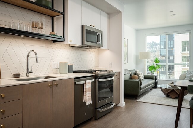
STUDIO
$1,429+
1 BED
$1,689+
2 BEDS
$2,840+
Base Rent$1,429 - $3,990
Utilities & EssentialsVaries
Total Monthly Price$1,429 - $3,990